Protect the forests you love starting at only 12¢ per day!
Join the Forest Society today and enjoy these exclusive member benefits:
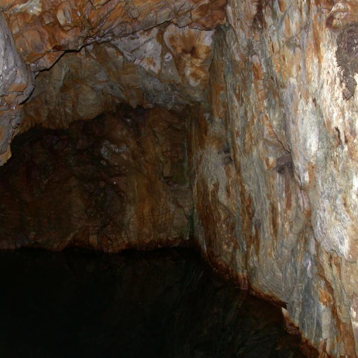
- 2 FREE passes to Lost River Gorge — a $58 value!
- A one-year subscription to our award-winning magazine
- Free registration for our 5 Hikes Challenge
- Discounts to special events and field trips