An ovenbird is banded at the Black Mountain Banding Station
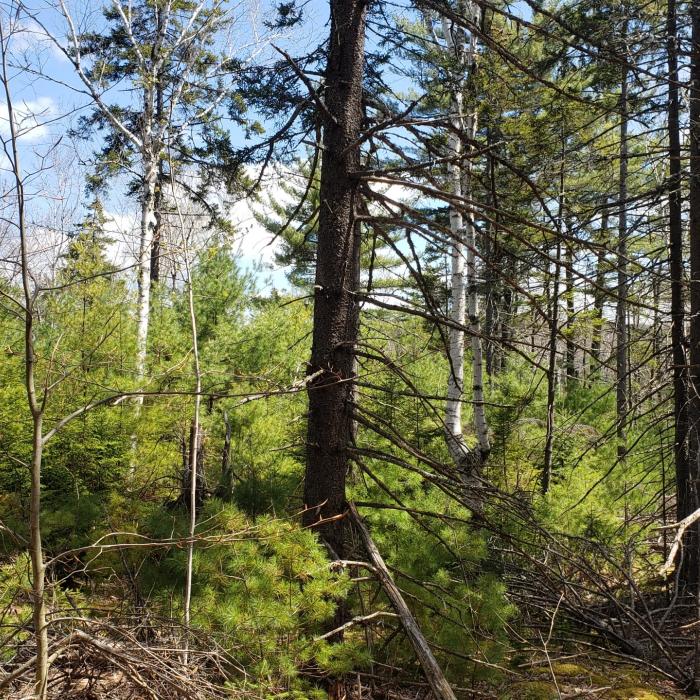
Stream on the Black Mountain Forest
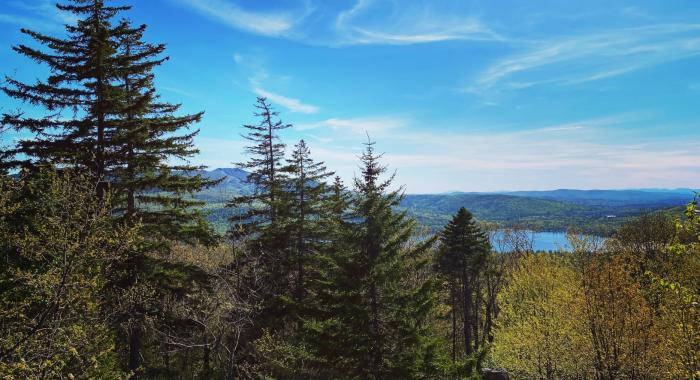
Hikers enjoy the view from Baker's Ledge, a viewpoint just off the Lincoln Trail.
Kearsarge High School students work on a trail re-route on Black Mountain Forest
About the Property
The 1,294 acre Black Mountain Forest in Sutton and Warner, NH was protected and established in 2010. It is named for a secondary peak to Mt. Kearsarge, Black Mountain, and the property protects managed forest lands, cascading trout streams, and extraordinary views of the Sunapee and Cardigan highlands. The Lincoln Trail, part of the Sunapee-Ragged-Kearsarge Greenway (SRKG), climbs through Black Mountain Forest on its way to the summit of Mt. Kearsarge.
Due to it's proximity to Kearsarge Regional High School (KRHS), the Black Mountain Forest has been utilized as an outdoor classroom for numerous classes and independent student learning opportunities since its protection. KHRS students have assisted with trail work projects on the Lincoln Trail (which was originally built by KRHS students with the guidance of Lincoln Cleveland), studied Eastern Brook Trout populations in the Black Mountain Forest's streams, and set up and maintained forestry growth plots here.
In 2024, the Black Mountain Banding Station (BMBS) was established on this forest in order to involve students and community volunteers in studying local bird populations. BMBS, founded by biologist, licensed bander and former KRHS science teacher Lindsay Herlihy, participates in the MAPS (Monitoring Avian Productivity and Survivorship) Program each summer, and Project Owlnet (Saw-whet Owl migration) in spring and fall months.
Trail Information
Lincoln Trail
Strenuous
10.00miles
2200feet
The ~5 mile (one way) Lincoln Trail traverses the northwest slopes of Mt Kearsarge and ends at the Rollins Picnic Shelter in Warner (Rollins State Park) where hikers can take the 1/2 mile Rollins Trail to the summit of Mt. Kearsarge. The lower sections of the Lincoln Trail follow a wide logging road before turning into a smaller hiking trail with more challenging terrain.
Begin at the SRKG parking pull-out on Kearsarge Valley Road in Sutton (see directions adjacent) and hike approximately 0.5 miles until you turn left onto the Lincoln Trail (you will now be on Black Mountain Forest). The trail climbs a wide logging road for 1.0 mile before taking another left onto a smaller path (still marked with SRKG markers). In 0.5 miles, there is an optional 0.1 mile spur to a viewpoint (Baker's Ledge), or you can continue on another 3 miles to the Lincoln Trail's terminus at Rollins State Park.