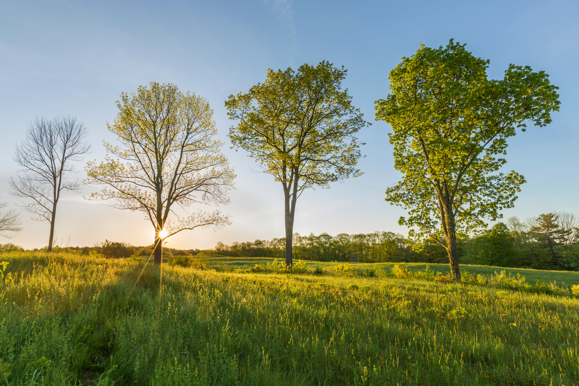
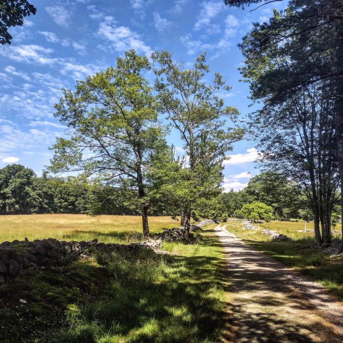
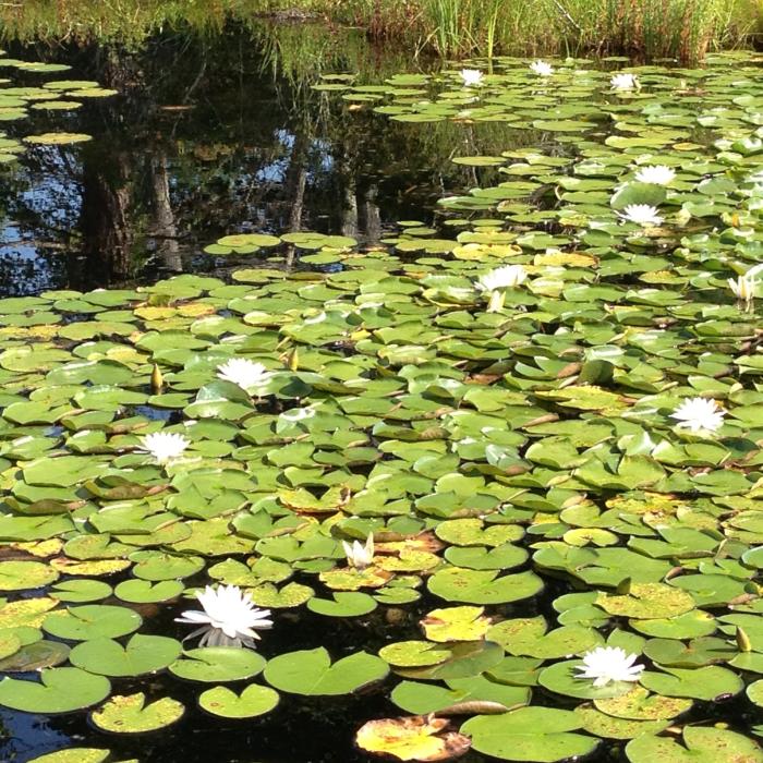
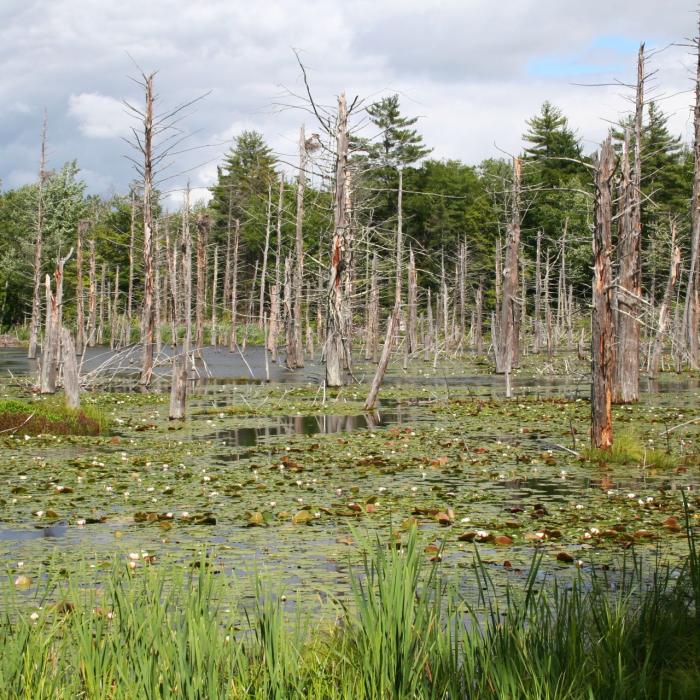
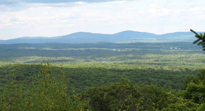
After lying undisturbed and nearly forgotten for more than 200 years, the abandoned settlement of Monson Center was saved from development and protected in 1998 as a recreational and archaeological treasure. From 1737–1770, Monson was the earliest inland colonial settlement in the territory that eventually became New Hampshire. Today, a 3-mile trail system leads visitors to seven original home sites with biographical markers describing the colonial settlers who once lived there. Well maintained open fields and long stone walls provide an ideal setting to contemplate New England’s history of colonial settlement. The main trails also converge at a sprawling beaver wetland, which hosts an active heron rookery in early summer. Benches near the water provide hikers with lovely spots to sit while viewing wildlife.
Monson Center is considered by leading archeologists to be one of the most significant archeological sites in New England. The settlement was part of Massachusetts at its inception and covered over 17,000 acres.
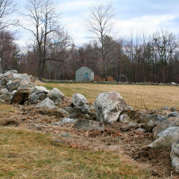
Many of the original stone foundations of the homes that were built in this late 1700s village are preserved including the Gould, Wallingford, W. Nevins, T. Nevins, Bayley, and Brown family homesteads.
The only public structure the village had was the pound for runaway cattle, and Monson never had a school house, meeting hall, or church.
Visitor Use Guidelines
Please see our Visitor Use Guidelines page for a complete list of rules and regulations for Forest Society reservations.
Try an Outing on the Forest Society's Mobile App, Powered by OuterSpatial
Monson Center Outing: This interpretive Monson Center Outing will allow you to follow the trail as natural and cultural sites are explained on your way to the beaver pond:
Property Details
Monson Village was New Hampshire’s first inland towns settled by Europeans. In 1735 six settlers from Massachusetts and Canada purchased the land, which was then part of Massachusetts. In 1737 they moved there with their families, cleared the land, and built a tight cluster of residential dwellings. For a few years, the town thrived under the leadership of such people as Thomas Nevins, a sergeant in the French and Indian War who lost three sons in the Revolutionary War; Joshua Bailey, whose 11 children narrowly escaped a fire that destroyed their home; Dr. John Brown, a prominent physician (whose fancy chaise carriage was the talk of New England), and Richard Clarke.
In 1741 the borders of New Hampshire and Massachusetts were adjusted, and Monson Village became part of what eventually became New Hampshire. The settlers farmed the land, traded commodities grown there, and continued to live on the land until the village was disbanded in 1770 and absorbed into the surrounding towns.
It remains unclear today what led to the abandonment of this settlement. Historians and archeologists continue to study Monson Village to decipher this remaining puzzle. Some believe the harsh living conditions simply got the best of residents. Some believe that political discord was the culprit. The puzzle remains, as do the original roads, stonewalls, and cellar holes.
Circumstances of Acquisition: Monson remained undisturbed for more than 220 years. In 1998 it was threatened by a 28-lot subdivision that would have erased its natural and historic beauty. A successful grassroots campaign to save this property was initiated by Russ and Geri Dickerman, and grew to include, local residents, the Society for the Protection of New Hampshire Forests, the State Division of Historical Resources, and Inherit New Hampshire. The property was ultimately purchased by the Forest Society in 1998 and Russ and Geri Dickerman also donated 125 acres of their own land to the cause. In 2008 the Town of Milford required the developer of a neighboring subdivision to configure their open space to directly connect to existing Monson reservation and 47 acres were donated to the Forest Society through this arrangement.
The land and its historical heritage are now protected forever, thanks to the successful effort led by Russ and Geri Dickerman and hundreds of “Friends of Monson”. Today, the Forest Society oversees the stewardship of Monson’s rolling fields, beautiful forests, walking trails, and historical artifacts in perpetuity.
Trail Information
Monson Center Trail
Easy
3.00miles
None
Major trails are former roads (E. Monson Road and W. Monson Road), so they are quite wide. Except when snow-covered, trails are easy to see and well-used. There are several narrow trails off-shooting from the main trails, but each meets up with one of the main trails, and it's easy to circle back to the center of Monson.
Parking Lot
Parking for a few cars is provided on Adams Rd. in front of the gate. A kiosk is located a few hundred yards down the road into the property, where the forest opens up to fields. Trail maps are available in a receptacle on the outside of the “Gould House”.
NOTE: The Forest Society does not plow or guarantee access to this property or its parking areas during the winter.