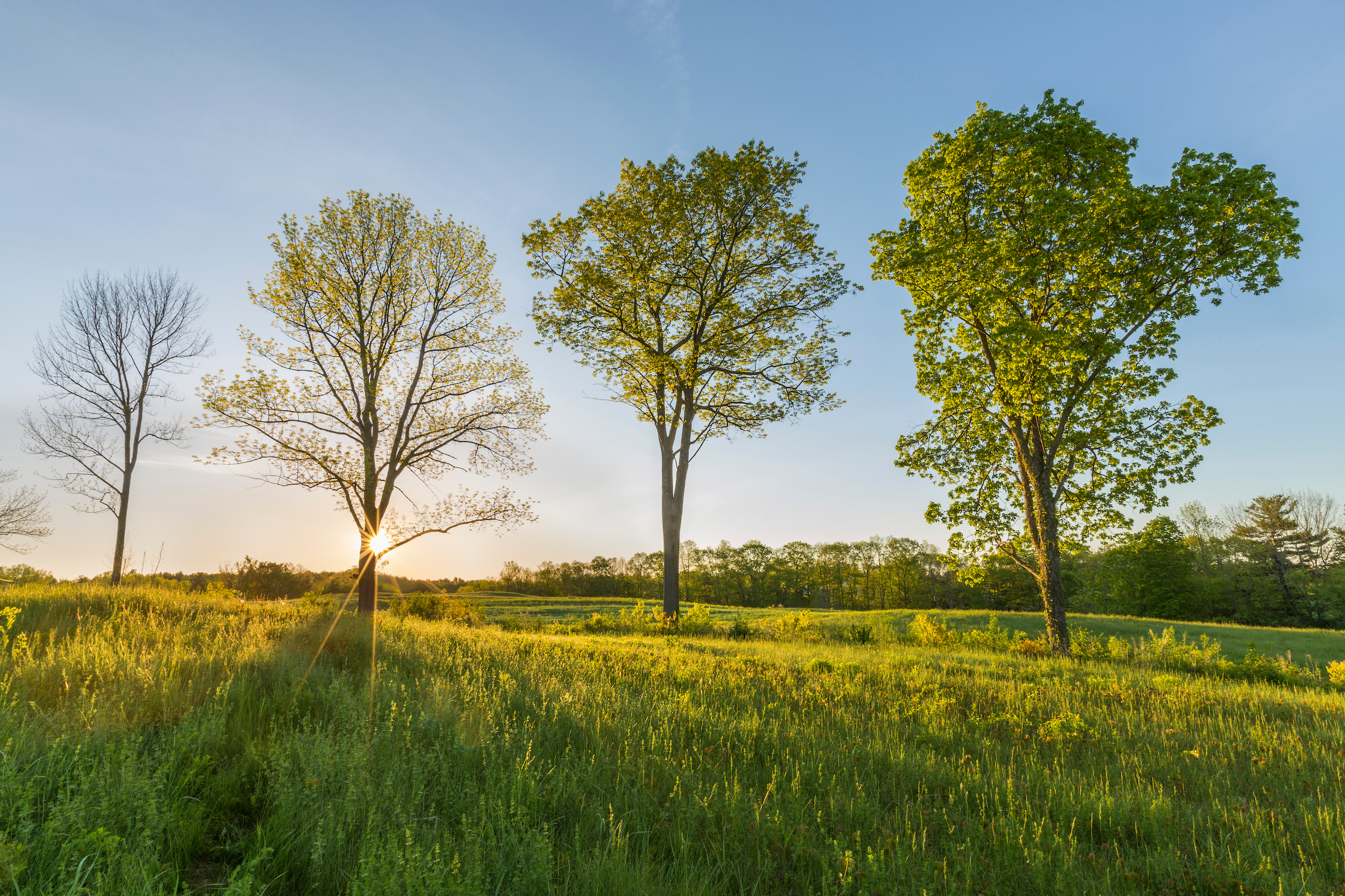
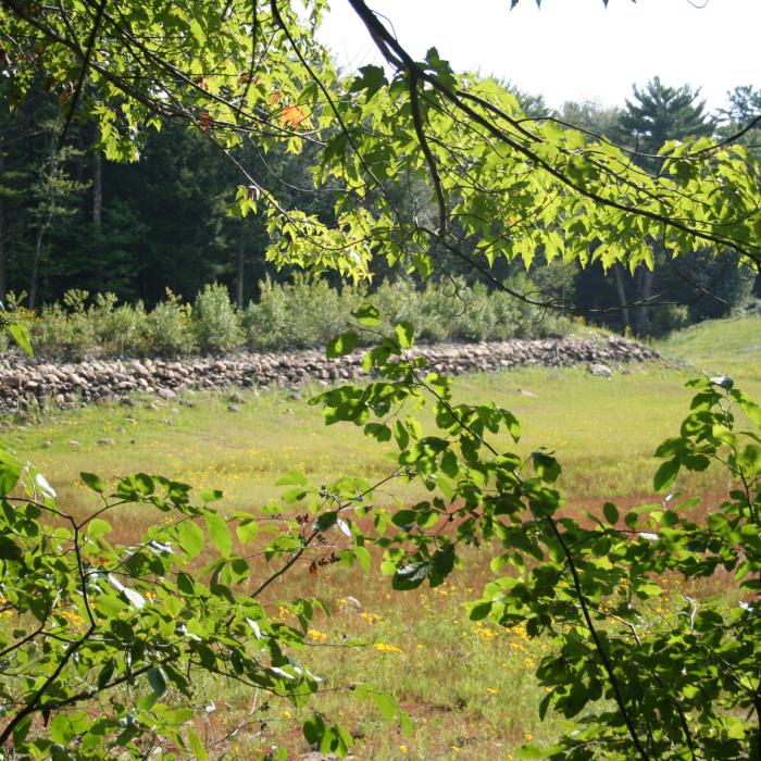
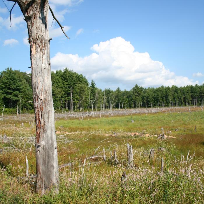
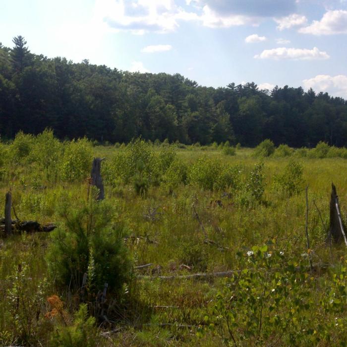
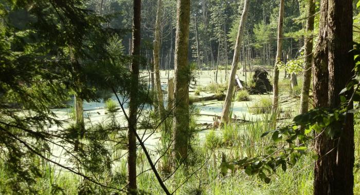
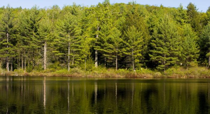
Only a few minutes from the bustle of downtown Rochester, the Champlin Forest offers a peaceful patchwork of diverse habitats to explore. Two miles of gentle trails connect fields dotted with wildflowers, varied woodlands, vernal pools, wetlands, and former ponds now reverting to forest. Whether you’re looking for an easy hike with the family or a place to walk your dog, Champlin has something for everyone to enjoy.
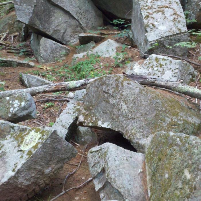
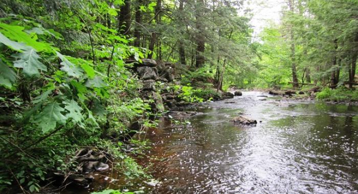
The property serves as the headwaters of and includes extensive frontage along Clark Brook and contributes to two nearby public water supplies. Remnants of a small-scale granite quarry dating to the mid-1800s, when stones were drilled and cut by hand, are evident as well.
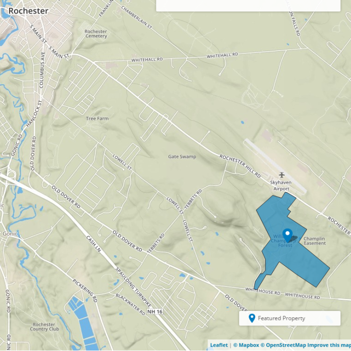
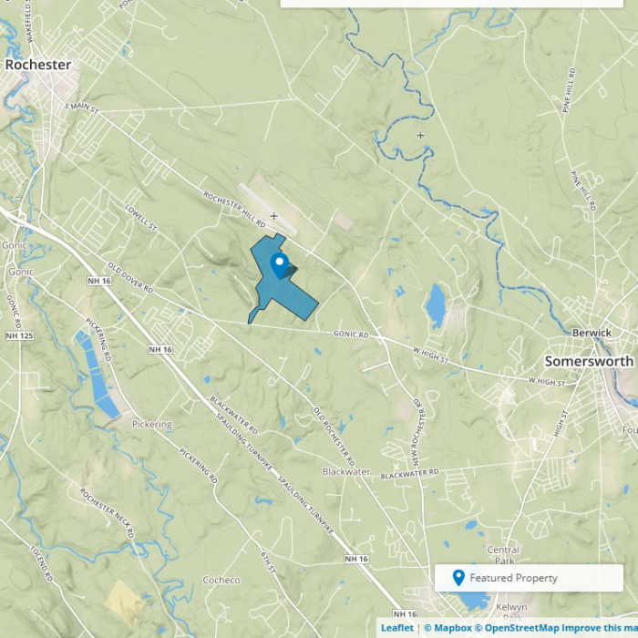
Champlin Forest features a kiosk and parking area on Route 108, and hiking trails through field and forest.
Visitor Use Guidelines
Please see our Visitor Use Guidelines page for a complete list of rules and regulations for Forest Society reservations
Try an Outing on the Forest Society's Mobile App, Powered by OuterSpatial
Champlin Forest Outing: This interpretive Champlin Forest trail will allow you to follow along as natural and cultural sites are explained on your way.
Property Details
A gift from Virginia S. Champlin of North Andover, Mass., in 2006, the property was named in honor of Mrs. Champlin's late husband, who took an active role and interest in the management of the land for forestry, wildlife, and recreational purposes. He also played a significant role in the current location of Skyhaven Airport, across Route 108 from the reservation.
Trail Information
Champlin Forest Trails
Easy
2.00miles
Yellow Blazes
All trails leave from the kiosk through the open field to the south. Please refer to the trail map for more information. Trails are easy, flat or moderately sloped and marked with yellow blazes. The longest trail is a 2-mile roundtrip.