Weeks Forest

About the Property

The trails at Weeks Woods consist of two loops: the lower loop (blazed in yellow) is along logging roads and is fairly wide and flat.  An upper loop extension (blazed in blue) is a single-track hiking path. The wide yellow loop trail is also flat, great for cross-country skiing, walking, and a nice trail to bring the children along.  A 1.3-mile hike on these spacious paths is possible, or you can lengthen your walk to 2 miles by including both loops.

In winter, the tracking is excellent, partly because of the different forest structures that exist from past timber harvests, providing habitat for a large variety of animals including fox, coyote, fisher, porcupine, raccoon, deer, and many species of birds.

During the spring, you will notice the presence of vernal pools, breeding habitat for amphibians like frogs and salamanders, and aquatic invertebrates like fairy shrimp, as well as insects.  These pools dry up by early summer.

In spring or at other times when there has been significant rainfall, expect some muddy sections of trail and be sure to wear appropriate footwear.

Submit Your Photos!

Hikers, students, community groups, and individuals can contribute to our environmental monitoring by through digital photography. Picture Posts are stationed at various forest reservations to help document environmental changes in the landscape and habitat. Click the links below to view the Picture Post at Weeks Woods and submit your photos. Instructions for how to take the photos are on each post:

Weeks Woods Picture Post

Please see our Visitor Use Guidelines page for a complete list of rules and regulations for Forest Society reservations. 

Property Details

Weeks Woods was once the property of Samuel Gilman, who, like many homesteaders in the 1800s, used it for sheep pasture. But by the time John and Esther Weeks acquired 85 acres in 1943, it had returned to forest. The Weeks family reclaimed some fields for the Guernsey cow herd, but also used some of their land for tree farming, harvesting trees in 1952 and 1962. The logging roads used then still exist and are great for easy hiking or cross-country skiing. 

Circumstances of acquisition:  In 1988 John and Esther Weeks placed the property in the care of the Forest Society, in loving memory of their son Robert. Robert Weeks, who grew to love these woods by first playing in them as a child and later harvesting timber from them to build his home. In 1999, the Forest Society was able to purchase an adjoining block of 22 acres in the northwestern part of the property, bringing the total size of the woods to 107 acres. 

Trail Information

Lower Hiking Loop

Easy
1.30miles

Yellow Blazes

From the kiosk at the trailhead, walk about ¼ mile up a moderate incline to the open log landing area.  This was used to sort logs for a timber harvest in 1989, and is still kept open to allow young aspen saplings and fruiting shrubs for wildlife. From the landing, go right along the logging road to the northeast corner of the property.  Notice the stumps and imagine what the forest looked like prior to the 1989 timber harvest. Low-quality trees were removed, improving conditions for the high-quality red oak, hemlock, and pine left behind.  The Forest Society practices sustainable forestry on its properties.

Approximately 1/3 mile from the log landing, you will cross a seasonal brook. This brook feeds Gunstock River, which drains north to Lake Winnipesaukee. Along its edges, look for such plants as red trillium, spring beauty, and trout lily. All of these plants are eco-indicators of rich, moist soils. 

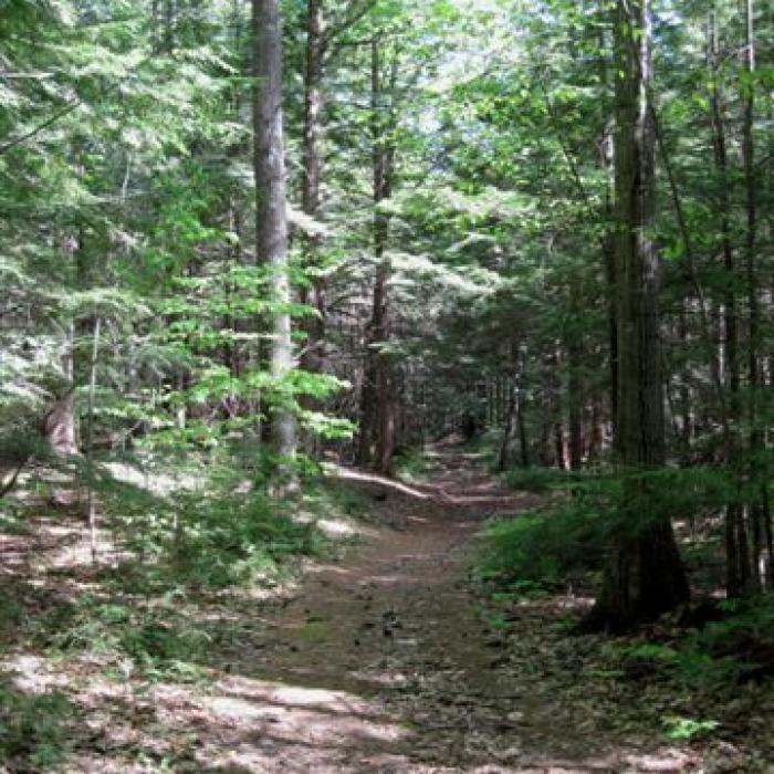
Approximately half a mile from the log landing, you will arrive at a trail junction.  To continue on the Lower Loop, take the main, broad trail that branches to the left. (The trail to the right is the Upper Hiking Loop, marked in blue.)

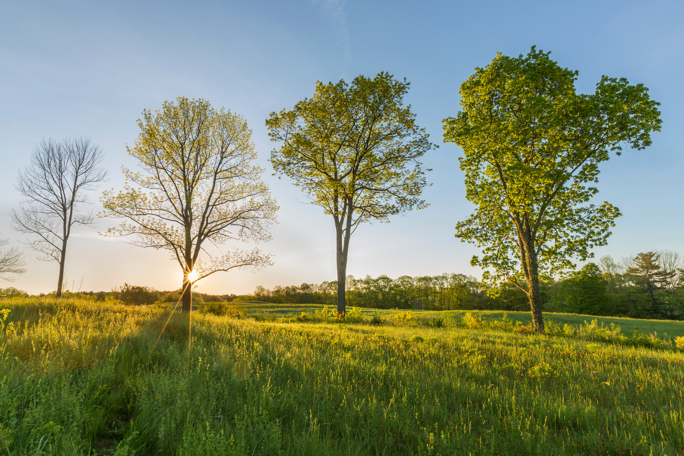
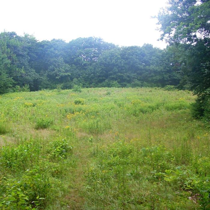
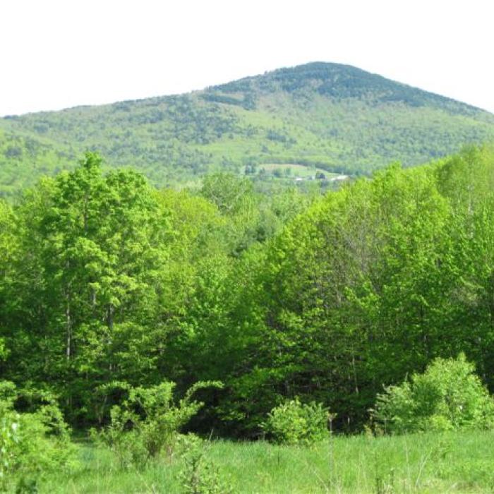
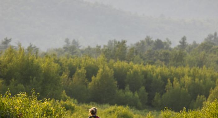
After about 1/3-mile, the Upper Loop rejoins the Lower Loop trail. Bear left at this junction to continue on the Lower Loop trail, crossing the stream and two sets of bog bridges. About ¼-mile past the last trail junction, you will find another trail on your right.  This short spur brings you to a mowed field. Views of the Belknap Mountains are visible from the top of the field. Grasses and fruiting shrubs quickly grow back to brush and young trees without active mowing, so this field is mowed after bird breeding season to maintain fine wildlife habitat and scenic views. Look for ant mounds and garter snakes in warm sunny areas, but watch out for poison ivy and thorny shrubs.  As you leave the field, note the old oak tree to the left of the entrance, with a diameter of nearly three feet.  This tree is probably close to 200 years old.

Retrace your path from the field back to the main trail and turn right to head back to the trailhead. 

Upper Hiking Loop

Easy
2.00miles

Blue Rectangles

From the junction with the yellow-blazed Lower Loop in the northeast corner of the property, bear right along the Upper Loop marked with blue blazes. 

The Narrow Path continues approximately 1/10 mile to another trail junction. Bear left at this junction to continue on the Narrow Path. (Bearing right will bring you to a stone wall and sign that signals the edge of the property.  A large, multi-trunked, or coppiced, red oak tree is to the left of the path, evidence of logging on the site: the tree was cut down but the root system was left intact.  The root system of the tree quickly responded to this by stump-sprouting, resulting in the coppiced tree.)

About a third of a mile west past the junction with the Woods Road trail, the terrain flattens, and the hemlock forest changes to a more open, sunny young beech forest. This whole area was logged between 15 and 20 years ago.